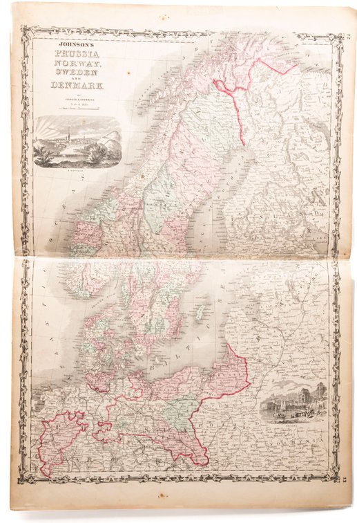
#270A • Johnson's Map of Prussia Norway Sweden Denmark
Part of Spring Super Auction Native American Baskets, Meaders Pottery and Tons More! part 1!!! (timed auction by K and B Auction)
High bid $10.00
Status: SOLD
Johnson's Map of Prussia, Norway, Sweden & Denmark (1861)'...from Johnson's New Illustrated (Steel Plate) Family Atlas, 1861 Unbound - 1861. by Colton, J.H. & Johnson, A.J. (compiled, Drawn & Engraved by). Richmond, VA: Johnson & Browning, 18" x 26.5". Handcolored Map. Plate #72, 73; Double page hand-colored map; of Prussia, Norway, Sweden & Denmark at the beginning of the US Civil War, decorative strapwork border; w/ Counties, cities, roads, rivers, railroads, wagon roads,canals, ports, etc & with 2 engravings. there is a horizontal fold at the center. There is some brown spotting and wear at the edges. However the condition is good enough that it is all legible. Back is blank. Great piece of Pre Civil War History! jrb.