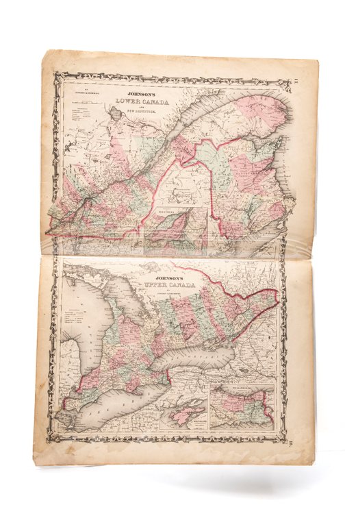
#270C • Johnson's Map of Lower & Upper Canada 1861
Part of Spring Super Auction Native American Baskets, Meaders Pottery and Tons More! part 1!!! (timed auction by K and B Auction)
High bid $18.00
Status: SOLD
This is a page from the Johnson and Browning Atlas of 1861. Map of Lower and Upper Canada Plate 17 and 18. 26½" x 18" Creased center fold. The map is hand colored. The maps encompass Quebec, including the Montreal environs, New Brunswick and Ontario and the Lakes Ontario, Erie and Huron. The colors are very bright. Center fold appears to be re-enforced at the back . Back is blank. Great piece of Pre Civil War history! jrb.