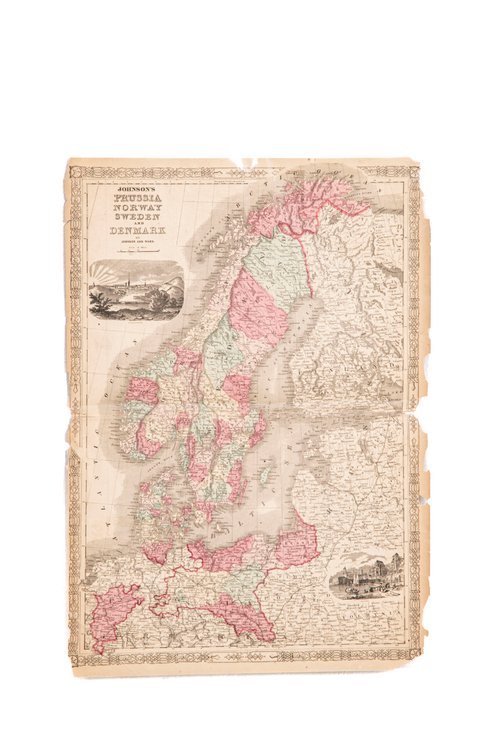
#270F • Johnson's Prussia Norway Sweden & Denmark Map 1864
Part of Spring Super Auction Native American Baskets, Meaders Pottery and Tons More! part 1!!! (timed auction by K and B Auction)
High bid $5.00
Status: SOLD
Johnson's Prussia, Norway, Sweden and Denmark" is an atlas map created by A.J. Johnson and published by Johnson and Ward in 1864. The map is a hand colored representation of Scandinavia and parts of Northern Europe. It includes heavy outlines around countries, which are shaded in different colors to distinguish them clearly. The use of color is both functional and aesthetic, aiding in the easy identification of national boundaries and enhancing the visual appeal of the map. A page from Johnson's New Illustrated (Steel Plate) Family Atlas, Map has the Johnson's 2nd border style consistent with 1864-1869. Text on obverse. Discoloration and wear at edges, but the map is fully legible. 25" x 17¾". jrb.