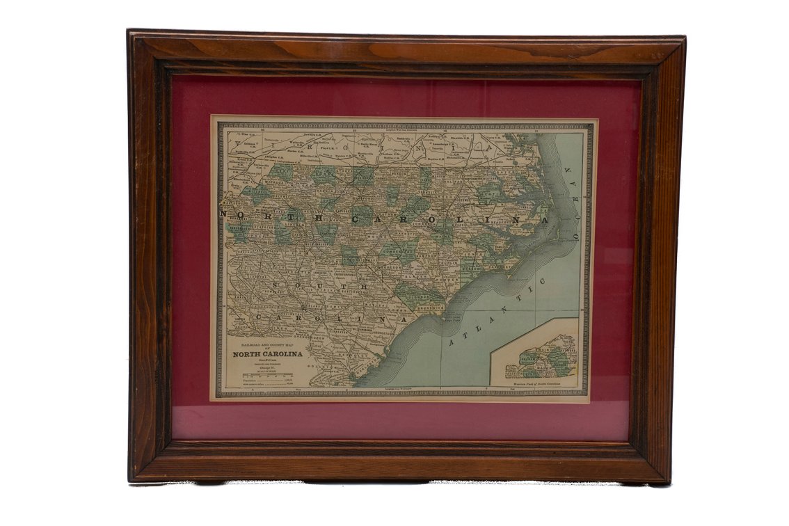
#258 • Framed Geo. Cram "Railroad & County Maps of NC"
Part of Orange Gallery - Living Estate and consignment auction (timed auction by K and B Auction)
High bid $100.00
Status: SOLD
An interesting lot of an antique framed map, by famous cartographer out of Chicago, George F. Cram, entitled "Railroad and County Map of North Carolina". Originally published in Chicago beginning in the 1870s & 1880s, this map meticulously detail the state's expanding turn-of-the-century rail networks, county boundaries, cities & physical topography. Early editions feature striking hand-colored lithography. Written on the back indicated is is from Cram's 1883 "Cram's Unrivaled Family Atlas of the World", but after looking through the publication, I could not locate this map. Framed in a simple wood frame with red mat. Measures approximately - 18.5" x 15.25". Item show appropriate wear due to age & use, with some fading and the frame shows wear with nicks & scratches. AA.